Barcelona's Top Walking Trails Rated by Distance and Difficulty
From a flat seafront stroll to a lung-burning Montjuïc summit push, here is where the city's serious walkers are heading this summer.
From a flat seafront stroll to a lung-burning Montjuïc summit push, here is where the city's serious walkers are heading this summer.
Barcelona has more than 65 kilometres of mapped urban walking routes within its municipal boundaries, yet most visitors — and a surprising number of residents — never venture beyond the Rambla. That gap between what exists and what gets used has become a genuine public health conversation this summer, as temperatures in the city regularly hit 34°C by midday and morning trail traffic surges before 8 a.m.
The timing matters. July heat in Barcelona is no longer a casual inconvenience. The Agència de Salut Pública de Catalunya has been running its Pla d'Actuació per Onades de Calor since 2004, and its guidance for 2026 specifically names outdoor physical activity before 10 a.m. or after 7 p.m. as the safest window. With that frame in mind, knowing which trail suits your fitness level on a given morning is genuinely practical information, not lifestyle decoration.
Start flat. The Barceloneta seafront promenade, running roughly 1.8 kilometres from the base of La Barceloneta neighbourhood north to the Port Olímpic marina, is the obvious entry point. The surface is paved, there are public water fountains every 400 metres or so, and the route is almost entirely shaded in the early morning by the angle of buildings along Passeig Marítim. Difficulty: low. It is entirely appropriate for older walkers, those returning from injury, or anyone who simply wants movement without drama.
A step up in both distance and interest is the Parc de la Ciutadella outer circuit. Walking the perimeter of the park, including the stretch along Passeig de Pujades and back through the interior near the Hivernacle greenhouse, covers approximately 3.2 kilometres. The ground is mostly gravel path and compacted earth, which is kinder on joints than pavement. The park opens at 8 a.m. and entry is free. On weekday mornings the running groups from the club Corredors Urbans BCN use the northern section, so walkers who prefer a quieter line should take the southern path past the ornamental lake.
For something between these two and the harder climbs, the Sant Pere and Born neighbourhood walking loop — mapped and marked by the Ajuntament de Barcelona as part of its Camins Escolars pedestrian network — covers 4 kilometres through one of the oldest parts of the city. The route takes in the Mercat de Santa Caterina on Avinguda de Francesc Cambó and passes through several interior courtyards. Uneven medieval stone is the main physical challenge, so footwear matters more than fitness here.
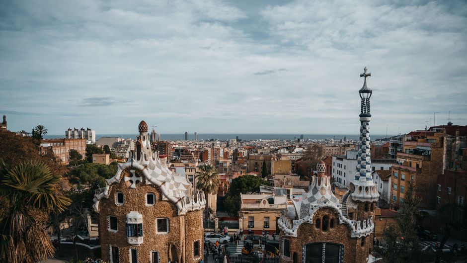
Montjuïc is where Barcelona's walking scene earns its reputation. The main ascent from Plaça d'Espanya via the Jardins de Laribal to the Castell de Montjuïc measures 4.7 kilometres one way, with an elevation gain of 173 metres. The path is well-maintained gravel for most of its length, and the Jardins de Joan Brossa section near the top is shaded enough to make the final push manageable even in July — provided you leave before 9 a.m. Difficulty: moderate to hard. The descent on the eastern side toward Poble Sec, dropping through the Jardins de Mossèn Llorens i Artigas, is steeper and worth knowing about before you commit to it with tired legs.
The most demanding option accessible by public transport is the Collserola ridge trail above Sarrià-Sant Gervasi. The Parc Natural de la Serra de Collserola — a protected area of 8,295 hectares that begins less than 20 minutes by FGC train from Plaça Catalunya — contains marked trails ranging from 5 to 22 kilometres. The GR-6 long-distance path crosses the ridge at 512 metres above sea level. The park's visitor centre at Can Coll, open Tuesday to Sunday, offers free printed trail maps and has updated distance markers following a 2024 repainting programme across the network.
The practical advice is straightforward: match the trail to the temperature, not just your ambition. Carry a minimum of 500ml of water per hour of walking in July. The Ajuntament's free BcnNatura app, updated in March 2026, includes real-time trail condition reports for Collserola and Montjuïc and shows the location of public drinking fountains city-wide. As always, anyone with cardiovascular concerns or chronic health conditions should speak with a local GP or specialist before moving from flat routes to hillside climbs. The trails will still be there when you are ready for them.
How does this story make you feel?
Spread the word
About this article
Published by The Daily Barcelona
Daily brief
Free, in your inbox before 7am. Weekdays.
More in Wellness