Barcelona's Best Walking Trails Rated by Distance and Difficulty: Your Complete Field Guide
From a flat beachfront stroll to a lung-burning climb above the city, here is where to lace up and go.
From a flat beachfront stroll to a lung-burning climb above the city, here is where to lace up and go.
Barcelona has more than 1,200 hectares of green space within its municipal limits, yet most residents walk the same two blocks to the metro without ever touching a proper trail. That changes this summer. The city's Institut Barcelona Esports has recorded a 34 percent rise in registered outdoor fitness participants since January 2025, and the parks directorate logged over 2.4 million visits to Parc de la Ciutadella in the first half of 2026 alone. The walking infrastructure to support all of it has never been better marked or more varied.
The timing matters. July heat on the Costa Brava can tip past 36°C by midday, making the city's shaded urban trails and elevation-cooled mountain routes genuinely strategic rather than merely scenic choices. Anyone looking for a structured outdoor routine — whether recovering from a sedentary winter or simply trying to move more deliberately — has real options graded to match their current fitness level. As always, if you have specific health concerns, check in with a local metge de capçalera (GP) before starting any new exercise programme.
Start at Barceloneta beach's northern entrance near the sculpture L'Estel Ferit on Passeig Marítim and walk northeast along the seafront promenade. The path is fully paved, almost entirely flat, and almost entirely shaded by the morning marine haze until around 10am. Distance to Parc del Fòrum — the wide esplanade at the end of Rambla del Prim — is 5.5 kilometres each way, giving a round-trip of 11 kilometres if you turn back. Elevation gain: essentially zero. This is the city's most accessible long walk for beginners, older adults, or anyone returning from injury. Water fountains appear at the Parc de la Barceloneta, at the Port Olímpic marina entrance, and again near the Rambla del Poblenou junction. Average finish time for a steady 5 km/h walker: around 65 minutes one way.
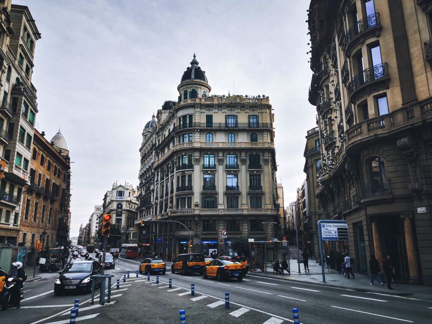
Parc de la Ciutadella, just inland from Barceloneta's western edge, adds a natural extension. The park's perimeter loop is roughly 2.2 kilometres on packed gravel paths beneath old plane trees. Difficulty: easy. It connects directly to the Arc de Triomf promenade on Passeig de Lluís Companys, which adds another 500 metres of broad, flat pedestrian boulevard. Combine these segments for a varied 4-kilometre easy loop with almost no car crossings.
Montjuïc is where Barcelona's walking offer gets serious. The hill rises to 173 metres above sea level, and the network of signed footpaths maintained by the Consorci del Parc de Montjuïc spans approximately 28 kilometres of trail in total. Three routes stand out by difficulty.
The Jardins de Laribal circuit is the gentlest of the hill options — a 4-kilometre loop beginning near the Fundació Joan Miró on Avinguda de Miramar. Elevation gain is around 80 metres, spread across stone terraced gardens with water channels that drop the ambient temperature by a noticeable two or three degrees in summer. Difficulty: moderate. Allow 55 minutes to an hour.
The full Anella Olímpica to Castell de Montjuïc trail covers 9 kilometres when you include the descent via Camí del Mar back to the Paral·lel metro station. Total elevation gain sits at approximately 170 metres. Difficulty: moderate-hard. Start before 8am in July. The castle itself charges €9 for adults as of June 2026, but the external ramparts and the panoramic esplanade facing the port are free and worth the climb alone.
For the fittest walkers, the GR-92 long-distance route enters Barcelona's municipality from the Collserola ridge and descends through Sarrià-Sant Gervasi. The Collserola Natural Park's own 8,295 hectares begin just 20 minutes by FGC train from Plaça de Catalunya — exit at Baixador de Vallvidrera. The park's information centre on Ctra. de l'Església publishes a free downloadable trail map with six signed itineraries ranging from 3 to 16 kilometres. The 10.5-kilometre Sant Medir circuit, rated difficult, gains 320 metres and rewards the effort with pine-forest shade and city views that stop most walkers mid-stride.
Practical matters: carry at least one litre of water per hour of walking in July. The Consorci del Parc de Montjuïc updates trail conditions on its website after heavy rain events. Most Barceloneta and Ciutadella trails are pushchair-friendly; Montjuïc and Collserola require proper footwear. All distances listed here are confirmed against municipal mapping data updated in early 2026. Pick one trail this weekend — there is no single correct starting point, just the one closest to where you already are.
How does this story make you feel?
Spread the word
About this article
Published by The Daily Barcelona
Daily brief
Free, in your inbox before 7am. Weekdays.
More in Wellness