Drone LiDAR Stockpile Measurement Sydney Quarries
Sydney quarries are ditching manual surveys for drone LiDAR technology. Faster stockpile measurement, higher accuracy, safer operations—here's how it works.
Sydney quarries are ditching manual surveys for drone LiDAR technology. Faster stockpile measurement, higher accuracy, safer operations—here's how it works.
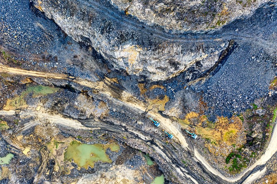
For a quarry, knowing exactly how much product sits in its stockpiles is a financial question as much as an operational one — those piles are inventory, and inventory is capital. Traditionally, measuring them meant sending a surveyor across the site with GPS equipment, a slow process with a meaningful margin of error. Drone-mounted LiDAR is changing that.
A drone fitted with a LiDAR sensor flies a programmed path over the site, capturing millions of precise distance measurements to build a dense three-dimensional model of every stockpile. Software then calculates volumes from that model. What once took most of a day and put a person on uneven, active ground can now be done in a fraction of the time, from the air.
Tighter volume measurement flows straight to the balance sheet. More accurate stock figures improve financial reporting, reduce the gap between recorded and actual inventory, and help operators plan production against real demand rather than estimates. The safety case is just as strong: fewer people walking active stockpiles means fewer opportunities for harm.
As the hardware has become cheaper and the software more capable, drone LiDAR has moved from a specialist service to a routine part of how well-run Australian quarries manage their stock — frequent, repeatable surveys replacing the occasional manual count.
This article was compiled by AI from the sources linked above and screened before publishing. See our editorial standards.
How does this story make you feel?
Spread the word
About this article
Published by The Daily Sydney
Daily brief
Free, in your inbox before 7am. Weekdays.
More in Business